

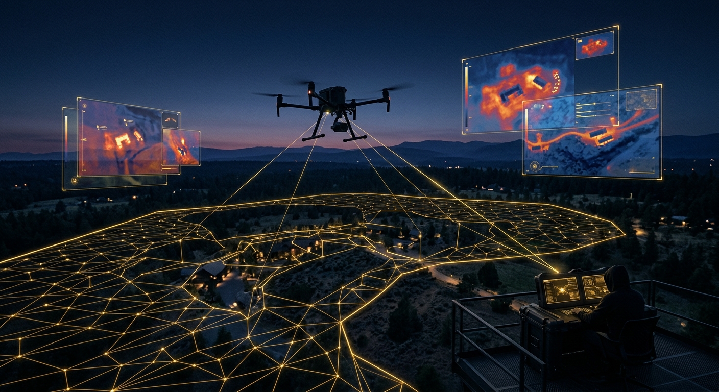
Drone surveillance is the use of a Federal Aviation Administration Part 107-licensed remote pilot and an unmanned aircraft to lawfully observe, document, or monitor a property, incident, or investigative target from the air. Used correctly, it extends perimeter security, accelerates search and locate efforts, and produces evidentiary-grade documentation for insurance and litigation matters—always within FAA airspace rules and privacy law, never as trespassory or invasive surveillance of a private individual.
A drone is not a toy with a camera bolted on, and it is not a shortcut around the law. In the hands of a licensed operator running a disciplined program, it is a force multiplier: one aircraft and one remote pilot can cover ground that would otherwise require a dozen guards on foot, document a roofline that would take a ladder crew half a day, or locate a missing person across acreage that no ground team could clear before dark. The value is real. So is the exposure if the program is run casually—an unlicensed flight, an altitude violation, or a camera pointed at the wrong window can turn a security asset into a liability, a lawsuit, or evidence a court refuses to admit. This guide covers where aerial surveillance earns its place in a security or investigations program, the legal framework that governs every flight, the technology that separates a professional deployment from a hobbyist one, and how Honeybadger Solutions runs Part 107-licensed operations across Arizona.
What legitimate problems does drone surveillance actually solve?
The word “surveillance” invites two very different pictures: a covert operator spying through a bedroom window, or a licensed professional documenting a construction site from 200 feet up in broad daylight, in airspace they are authorized to occupy. Only the second is legitimate, legal, and something a licensed firm will perform. Within that lawful lane, aerial platforms solve problems that ground-based methods solve slowly, incompletely, or not at all:
- Large-property and perimeter security. Ranches, industrial campuses, solar and utility sites, and multi-acre estates have perimeters that ground patrols cover slowly and unevenly. A drone flight pattern covers the same fence line in minutes, flags breaches, gates left open, or vehicles staged near a boundary, and feeds that intelligence directly into an active security posture rather than a report written after the fact.
- Construction and critical-infrastructure monitoring. Progress documentation, material theft deterrence, and structural or safety checks on partially built assets are all faster and safer from the air than from a lift or a ladder—particularly on multi-story builds, solar arrays, cell towers, and pipeline or utility corridors where ground access is limited or hazardous.
- Search and locate support. In a missing-person or fugitive-locate matter, aerial thermal imaging can clear terrain—dense brush, wash beds, agricultural acreage—far faster than a ground team, often working alongside law enforcement rather than in place of it.
- Insurance, roof, and damage documentation. Hail, wind, and storm damage claims live or die on documentation quality. An aerial pass captures a full roof, a damaged facade, or a flood-affected property line in minutes, with time-stamped, geotagged imagery that holds up far better than a handful of ground photos.
- Event overwatch. Large gatherings, executive protection details, and high-value events benefit from an elevated vantage point that spots crowd-flow problems, unauthorized access points, or developing incidents before they reach ground-level security teams.
Every one of these use cases shares a common thread: the aircraft is documenting a property, a site, or a search area—not tracking a private individual through their daily life. That distinction is the hinge on which the entire legal analysis turns.
What is the legal framework that governs commercial drone surveillance?
Three layers of law govern every commercial drone flight, and a competent operator treats all three as non-negotiable, not as an afterthought layered on top of the flying.
FAA Part 107: the licensing floor
Any drone flight conducted for compensation or in furtherance of a business—security monitoring, investigative documentation, insurance photography, real estate, or otherwise—falls under the FAA’s Part 107 commercial operating rules. That means the person at the controls holds a Remote Pilot Certificate earned through the FAA’s Aeronautical Knowledge Test, the aircraft is registered, and every flight respects the operating limits built into the rule: daylight operations (or FAA-compliant anti-collision lighting for twilight), a maximum altitude of 400 feet above ground level in most cases, visual-line-of-sight operation unless a specific waiver is held, and mandatory yielding to manned aircraft. Flights near airports, over people, or in restricted or controlled airspace require additional authorization through the FAA’s LAANC system or a specific waiver—there is no informal workaround. The full current ruleset, airspace authorization tools, and waiver process are maintained at the FAA’s UAS resource center, and a licensed operator checks it before every flight, not once at certification.
The privacy and consent line
Holding a Part 107 certificate authorizes an operator to fly in navigable airspace—it does not authorize surveillance of people where they have a reasonable expectation of privacy. State privacy-tort law (intrusion upon seclusion), peeping and voyeurism statutes, and, in some jurisdictions, drone-specific privacy statutes all continue to apply regardless of altitude. A licensed program stays firmly on the lawful side of that line by design: cameras are tasked at the property, structure, or search area under contract or lawful authorization, not at neighboring residences, private backyards, or individuals with a reasonable expectation of privacy; flight plans and camera gimbal limits are set in advance to avoid incidental capture of adjoining private space; and every engagement has a documented lawful basis—an ownership interest, a client authorization, a lawful investigative purpose, or coordination with law enforcement—before the aircraft leaves the ground.
Evidentiary admissibility
If aerial footage is destined for an insurance claim, a civil case, or a criminal matter handled alongside investigations counsel, it is only as useful as it is admissible. That means an unbroken chain of custody from capture to delivery, metadata (timestamp, GPS coordinates, altitude, operator credentials) preserved rather than stripped out by casual editing, a documented lawful basis for the flight, and a licensed pilot who can testify to the how, where, and why of the capture if a matter goes to deposition or trial. Footage obtained outside FAA rules or across the privacy line is not just risky—opposing counsel will move to exclude it, and a firm that cannot answer basic questions about airspace authorization has handed the other side an easy win.
Which drone technology fits which mission?
Not every aerial mission calls for the same aircraft or sensor package. Matching the platform to the objective is where an experienced program earns its fee—the wrong sensor on the right mission produces footage that looks impressive and proves nothing.
| Technology | What it does | Best-fit missions | Key limitation |
|---|---|---|---|
| Thermal / IR imaging | Detects heat signatures independent of visible light | Nighttime perimeter checks, search and locate, wildlife/intruder detection | No fine visual detail; requires trained interpretation |
| High-zoom optical | Magnified daylight video/still capture from a safe standoff distance | Roof and damage documentation, license-plate/asset ID at range, event overwatch | Degrades in low light; standoff distance limited by resolution |
| Tethered platforms | Ground-powered aircraft with unlimited flight endurance at a fixed station | Continuous overwatch of a fixed site, event security, extended perimeter watch | Limited mobility; fixed coverage footprint |
| Live downlink | Real-time video feed to a ground console or command post | Active incident response, executive-protection overwatch, coordination with on-site teams | Requires reliable link and trained console operator |
A mature program treats these as a toolkit, not a single go-to gadget. A construction-monitoring engagement rarely needs thermal; a nighttime search-and-locate mission rarely benefits from a tethered platform. Choosing the sensor package starts with the operational question—what has to be proven or found—and works backward to the hardware.
How does a professional program run a compliant deployment, start to finish?
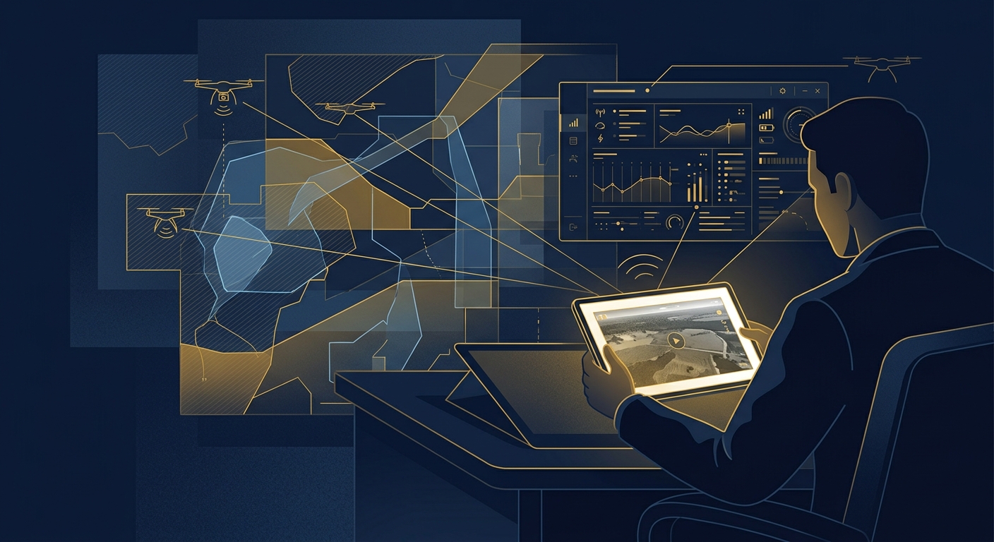
The gap between a licensed hobbyist with a nice drone and a professional aerial security or investigations program is process, not equipment. A disciplined deployment follows a repeatable sequence every time:
- Establish lawful basis and scope. Confirm the client’s ownership or authorization interest, the specific property or search area, and the documented purpose of the flight before anything is scheduled.
- Airspace check. Verify controlled-airspace status, proximity to airports, temporary flight restrictions, and any need for LAANC authorization or an FAA waiver.
- Flight and privacy planning. Set altitude, flight path, and camera gimbal limits to keep capture confined to the authorized area and avoid incidental footage of neighboring private property.
- Pre-flight aircraft and pilot check. Confirm current Remote Pilot Certificate standing, aircraft registration, battery and system checks, and weather minimums.
- Controlled flight execution. Fly the mission with a documented log—time, location, altitude, purpose—maintained in real time, not reconstructed afterward.
- Evidentiary handling. Preserve raw footage and metadata, apply chain-of-custody documentation immediately, and avoid any edit that could be characterized as altering the record before delivery.
- Delivery and reporting. Package findings for the intended audience—an insurance adjuster, litigation counsel, or a security operations lead—with a clear, sourced summary alongside the raw material.
Skip any step and the program is exposed—to an FAA enforcement action, a privacy claim, or footage a court simply will not consider. Run all seven every time and the aircraft does exactly what it should: extend the reach of a security or investigative program without creating new risk.
Representative scenario: perimeter breach on a rural property
Consider a representative engagement: a rural property owner reports repeated fence breaches and suspected trespass across a multi-hundred-acre parcel too large for a ground patrol to cover on a nightly basis. A licensed operator establishes a documented flight plan confined to the client’s property boundary, runs periodic thermal passes along the perimeter after dark, and cross-references heat signatures against the fence line and known access points. Over several nights, the flights identify a recurring breach point and a pattern of activity timed to patrol gaps—intelligence the client hands to law enforcement alongside timestamped, geotagged flight logs. No footage extends beyond the property boundary; no individual is tracked off-site. This is an illustrative scenario, not a named client or a guaranteed outcome—it shows the category of value delivered within the legal lines described above.
How does Honeybadger deploy drone surveillance inside and outside Arizona?
Where the aircraft physically flies determines how the engagement is staffed. Across Arizona, Honeybadger Solutions deploys its own in-house, Part 107-licensed remote pilots—not subcontracted or brokered flight crews—coordinated out of our Casa Grande headquarters with additional coverage from our Phoenix and Oro Valley offices. That means direct operational control over flight planning, airspace compliance, and evidentiary handling from the first client call to final delivery, whether the mission supports a security client’s perimeter, a construction site, or an active investigation.
Outside Arizona, we design and manage the aerial program—scope, legal framework, sensor selection, evidentiary standards—and execute physical flight operations through a vetted network of licensed field partners in established partner theaters (California, Texas, Florida, and beyond as engagements require). Our intelligence and case-management function remains in-house and remote-by-design regardless of where the aircraft is based, so a multi-state client gets one point of accountability and one evidentiary standard, not a patchwork of disconnected vendors.
What separates a world-class aerial program from a mediocre one?
Anyone can buy a drone. The differentiators that matter are licensing depth (a current Remote Pilot Certificate and demonstrated familiarity with airspace authorization, not a certificate earned once and forgotten), a documented privacy and lawful-basis protocol applied to every flight without exception, sensor selection matched to mission rather than whatever equipment is on hand, and evidentiary discipline—chain of custody and metadata preservation treated as standard operating procedure, not an afterthought when a case gets contentious. Cost drivers follow the same logic as any professional service: flight complexity, airspace authorization requirements, sensor package (thermal and tethered platforms cost more to operate than basic optical), and the evidentiary rigor the engagement demands. A client should be wary of any quote that does not account for airspace checks and documentation time—that is usually where the corners get cut.
Frequently asked questions
Is it legal to hire a drone operator for security or investigative surveillance?
Yes, provided the operator holds an FAA Part 107 Remote Pilot Certificate, the flight complies with airspace rules, and the surveillance is directed at a property or lawful search area rather than at an individual’s private activity without a documented lawful basis. Both federal aviation law and state privacy law apply on every flight.
How high can a licensed drone legally fly, and does that limit its usefulness?
Part 107 generally caps commercial flights at 400 feet above ground level, with additional restrictions near airports and in controlled airspace unless specific FAA authorization is obtained. That altitude is more than sufficient for perimeter security, construction monitoring, and damage documentation—professional-grade optical and thermal sensors are effective well within that ceiling.
Can drone footage actually be used as evidence in court or an insurance claim?
Yes, when it is captured by a licensed pilot under a documented lawful basis, with metadata and chain of custody preserved from capture through delivery. Footage obtained outside FAA rules, or that crosses the privacy line into a neighboring private space, is vulnerable to exclusion and should never be relied on for a claim or a case.
Does Honeybadger fly its own drones, or subcontract the work?
In Arizona, we fly our own missions with in-house, Part 107-licensed remote pilots based out of Casa Grande, Phoenix, and Oro Valley. Outside Arizona, we design and manage the aerial program in-house and execute physical flights through a vetted network of licensed field partners, keeping one accountable point of contact throughout.
About Honeybadger Solutions
Honeybadger Solutions is an Arizona-licensed security and investigations firm delivering Part 107-licensed drone surveillance, physical security, and investigations across Arizona. Our digital forensics, cybersecurity, financial investigations, and background intelligence capabilities are in-house and remote-by-design; Arizona field and aerial operations are staffed by our own licensed personnel, with physical operations outside Arizona coordinated through a vetted partner network. We operate three Arizona offices—Casa Grande (headquarters), Phoenix, and Oro Valley.
Ready to put a lawful eye in the sky to work? Book a consultation online to brief an operations lead on your property, project, or investigation. Licensed. Documented. Defensible.
Authoritative references: the Federal Aviation Administration’s Part 107 commercial operating rules and the FAA’s Unmanned Aircraft Systems resource center.
Browse by topic
Security guard services · Private investigations · Cybersecurity · Digital forensics · Financial fraud investigation · Executive protection · All articles