
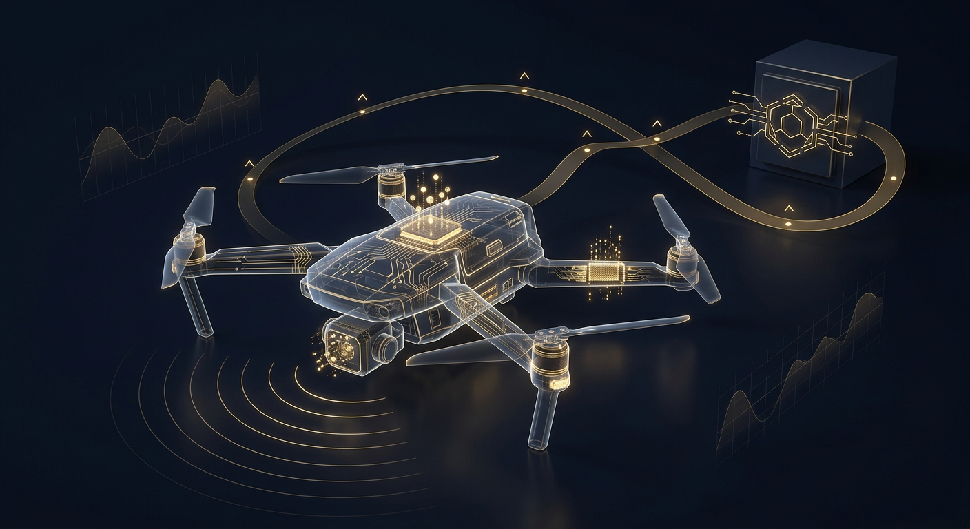
A drone’s story is never contained in the aircraft alone. Flight paths, altitude, GPS waypoints, and telemetry are written across four places—the drone’s internal flight controller and storage, the remote controller, the pilot’s phone or tablet app, and the manufacturer’s cloud—while photos and video sit on the onboard card or gimbal storage. A competent investigation identifies every source, preserves each before it overwrites, extracts it with validated tools, and reconciles the fragments into one defensible timeline that survives an admissibility challenge.
Unmanned aircraft now appear in the middle of matters they had nothing to do with a decade ago: privacy and trespass complaints over a neighbor’s rooftop hovering, corporate espionage over a research campus, near-misses with crewed aircraft, critical-infrastructure incursions, insurance disputes after a crash, and workplace incidents on a construction or inspection site. In each, the decisive question is the same—where did the drone actually fly, when, how high, and what did its camera capture. For general counsel, litigators, insurers, and corporate security leaders, knowing where drone evidence resides and how it is lawfully recovered has become a core forensic competency rather than a novelty.
Where does a drone’s flight and camera data actually live?
People assume “the drone’s data” is a single log on a memory card. In reality, a single flight can leave traces in four or more independent systems, each owned or held by a different party and governed by a different retention behavior and legal standard. The art of the investigation is knowing which sources exist for a given make and platform—and moving to preserve every one before it recycles or is deliberately wiped.
- The aircraft itself. The flight controller writes detailed logs—timestamped GPS coordinates, altitude, heading, speed, motor and battery data, home point, and error or warning events—to internal storage. Removable microSD cards or onboard storage hold the high-resolution photos and video, and often a second copy of flight records or gimbal metadata. This is the richest single source and the one most often damaged in a crash or wiped before handover.
- The remote controller. The physical controller can retain its own logs, cached map tiles, firmware and pairing records, and—on integrated-screen models—the same flight-app data as a phone. It also establishes which controller was bound to which aircraft, a key link when ownership or operation is disputed.
- The pilot’s phone or tablet (flight app). The manufacturer’s flight app typically stores the most human-readable record: per-flight logs with maps, altitude and distance graphs, duration, battery, and often cached low-resolution video or a flight “replay.” App logs frequently survive even when the aircraft is destroyed or missing.
- The manufacturer cloud. Many platforms sync flight records, account data, and sometimes media to the vendor’s servers, and enterprise fleets add flight-management platforms that log every mission. Cloud records are reachable only through the account holder’s cooperation or lawful process, but they can reconstruct flights when local copies are gone.
- Remote ID broadcast and third-party captures. Newer drones broadcast a Remote ID signal—identity, location, altitude, and control-station position—that ground receivers, apps, or law-enforcement sensors may have logged independently of the operator.
Drone data sources at a glance
| Source | What it captures | Who controls it | How it is obtained |
|---|---|---|---|
| Aircraft flight controller / internal storage | GPS track, altitude, heading, speed, battery, home point, error events | Drone owner (physical aircraft) | Forensic extraction of the module or storage; consent or court order |
| Onboard media card | High-resolution photos and video, gimbal metadata, sometimes flight logs | Drone owner | Write-blocked imaging of the card and hash verification |
| Remote controller | Controller logs, pairing and firmware records, cached maps, app data on integrated screens | Operator | Device forensic acquisition with consent or legal authority |
| Flight app (phone / tablet) | Per-flight maps, altitude and distance graphs, duration, cached media, flight replay | Pilot / device owner | Mobile forensic acquisition; consent or compulsory process |
| Manufacturer / fleet cloud | Synced flight records, account data, mission logs, sometimes media | Vendor / operator account | Account cooperation, subpoena, or court order |
| Remote ID broadcast | Aircraft identity, live location, altitude, control-station position | Broadcast publicly; captured by receivers | Third-party receiver logs, apps, or law-enforcement sensors |
What is stored in drone flight logs and telemetry?
Flight logs are the heart of most drone matters, and they are far richer than a simple breadcrumb line on a map. A well-parsed log reconstructs the flight second by second: latitude and longitude, barometric and GPS altitude (which can differ and must be reconciled), ground speed and vertical speed, compass heading and gimbal pitch, satellite count and signal strength, battery voltage and temperature, motor RPM, and the home point the aircraft was told to return to. Just as important are the discrete events the controller records—takeoff and landing, waypoint mission steps, geofence and altitude-limit warnings, low-battery return-to-home triggers, loss-of-signal events, and firmware or calibration entries.
Read together, these elements let a qualified examiner test an operator’s account against the physical record: was the aircraft actually below the claimed altitude, did it loiter over a specific rooftop or airfield, was it the pilot who flew it home or an automated return, and does the camera’s field of view at a given moment support or contradict a privacy or surveillance allegation. Media files carry their own evidentiary payload—embedded timestamps, GPS tags, camera settings, and thumbnails—that can be cross-checked against the flight log to prove that a specific image was captured at a specific place and time. Because logs cycle as new flights accumulate and cards get reused or reformatted, an unpreserved drone is evidence on a countdown.

How is drone data recovered forensically?
Each source demands a different acquisition method, and using the wrong one either destroys data or produces results no court will accept. Elite practice matches the technique to the source and documents every step.
- Onboard media and removable cards are imaged through a hardware write blocker so nothing on the original is altered, then hash-verified. Where a card was reformatted or files deleted, file carving frequently recovers photos, video fragments, and log files that were never truly erased.
- Flight controller and internal storage are acquired with drone-forensics platforms and, for damaged or crashed aircraft, chip-off or JTAG techniques that read memory directly from the board. Recovered logs are then parsed and decoded into human-readable telemetry.
- Remote controllers and integrated-screen units follow embedded-device and mobile forensics—physical or logical acquisition depending on the model and lock state—capturing pairing history, controller logs, and any app data resident on the device.
- Flight-app data on phones and tablets uses standard mobile forensics: isolate the device from networks, perform the deepest defensible acquisition the model and lock state allow, and parse the app’s flight database, cached media, and replay files.
- Cloud and fleet-platform records are not extracted from the aircraft at all—they are obtained through the account holder’s cooperation, preservation letters, subpoenas, or court orders, then validated for completeness and integrity.
Across every method the constants are the same: verify with cryptographic hashes, document the exact tool and version, and maintain an unbroken chain of custody. A platform-and-firmware inventory taken before acquisition—exact make, model, firmware, bound controller, and linked accounts—determines which sources are even reachable. Scoping a drone engagement without that inventory is guesswork, exactly as it is in mobile or vehicle forensics.
What does Remote ID change for drone investigations?
Remote ID is often described as a “digital license plate” for drones, and for investigators it is a genuinely new evidence layer. Under the Federal Aviation Administration’s rule, most drones that must be registered are required to broadcast identification and location information—the aircraft’s identity, its real-time position and altitude, and the location of the control station—so that it can be received by anyone nearby with a compatible receiver or app. That broadcast exists independently of the operator’s own logs, which is precisely what makes it valuable when a pilot is uncooperative, unknown, or later wipes the aircraft.
In practice, Remote ID helps answer the two questions that used to stall drone cases: which aircraft was over the site, and where was the person controlling it standing. When a facility, a law-enforcement partner, or a bystander captured Remote ID data, it can corroborate—or contradict—the flight logs pulled from the drone and the app. It is not a complete record on its own: coverage depends on a receiver having been present and logging, and the broadcast does not include camera content. But treated as one source among several, Remote ID can be the thread that ties an anonymous incursion back to a specific operator, and it should always be on the preservation checklist for any incident over sensitive ground.
What makes drone evidence admissible in court?
Recovering the data is only half the task; it must also withstand challenge. Admissibility of drone evidence rests on the same pillars as any digital forensic record, applied to a domain where opposing counsel will probe every gap.
- Authentication. The proponent must show the evidence is what it purports to be—this aircraft, this controller, this account, this flight—supported by acquisition records, hashes, serial and pairing data, and a documented extraction method.
- Reliable methodology. The tools and parsing techniques must be validated and generally accepted, so expert interpretation of telemetry and media survives a Daubert-style reliability inquiry.
- Chain of custody. A continuous, documented record of who handled the aircraft, the cards, the controller, and every export, and when—from seizure or preservation through reporting.
- Integrity verification. Cryptographic hashing at acquisition and re-verification later, proving the data was not altered.
- Qualified interpretation. Raw telemetry means little without an expert who can explain GPS accuracy, barometric-versus-GPS altitude, clock synchronization across devices, and the difference between recorded fact and inference.
- Proper predicate for third-party records. Manufacturer-cloud, fleet-platform, and Remote ID capture data must be introduced with the appropriate business-records or custodian foundation.
The providers that separate world-class work from a data dump are those who can articulate the limits of their own evidence—GPS drift, altitude-reference mismatches, clock skew between the aircraft, controller, and phone, and the gap between “this drone was here” and “this individual flew it.” A timeline that overstates its certainty is more dangerous in a deposition than no timeline at all.
How should you preserve drone evidence before it is lost?
Drone evidence is perishable in ways that surprise even experienced counsel. Use this framework the moment a matter involves an unmanned aircraft:
- Map every possible source first. Identify the aircraft make, model, and firmware; the bound controller; the pilot’s phone or tablet and flight app; the manufacturer or fleet cloud account; and any Remote ID or CCTV capture from the site. Each is a separate preservation target.
- Secure the physical aircraft and cards. Power the drone down, do not fly it again—additional flights overwrite logs and can recycle storage—and do not reformat or “test” the memory card. Store the aircraft, batteries, and cards in a controlled location.
- Preserve the controller and phone in parallel. Isolate relevant devices from networks and plan forensic acquisition; app logs and controller records frequently outlast the aircraft’s own storage, and often survive even a crash.
- Send preservation and account demands immediately. Issue litigation-hold and preservation letters to the operator, the drone vendor’s cloud service, and any fleet-management platform before retention windows or account deletions erase synced records.
- Capture perishable third-party data. Request any Remote ID receiver logs, facility CCTV, and witness recordings while they still exist—these often overwrite within days.
- Establish legal authority before acquisition. Confirm ownership, consent, warrants or court orders, privilege, and any cross-border constraints—documented in advance.
- Extract with validated tools and hashing. Match the method to each source, use write blockers, verify integrity cryptographically, and record tool versions.
- Correlate and reconcile. Align timestamps across the aircraft, controller, app, cloud, and any Remote ID capture; account for GPS and altitude differences; and build one coherent timeline supported by the strongest corroborating sources.
- Document continuously. Maintain chain of custody and a defensible narrative from the first preservation step to the final report.
Representative scenario: the flight log that closed the gap
Consider a representative privacy-and-trespass matter. A residential principal reported a drone repeatedly hovering outside upper-floor windows and photographing the property, while the operator, once identified, insisted the aircraft never left a public park at low altitude and never pointed its camera toward the home. The aircraft’s flight controller told a different story: the GPS track placed the drone directly over the property line on three occasions, the barometric altitude showed it well above rooftop height, and gimbal-pitch data recorded the camera angled downward toward the windows during those passes. The onboard media, imaged under write-block and hash-verified, contained images whose embedded GPS tags and timestamps aligned exactly with those log entries, and the flight-app replay on the operator’s phone corroborated the same missions. No single source was decisive; reconciled together, and introduced with proper foundation and chain of custody, they reconstructed the events with a confidence no witness statement could match. This is an illustrative scenario, not a named client or claimed outcome—but it captures why elite investigations treat drone data as a multi-source discipline, not a single card to pull.
Frequently asked questions
Can flight data be recovered from a crashed or water-damaged drone?
Often, yes. Even when an aircraft is physically destroyed, the flight controller’s memory and the storage card frequently survive, and examiners can read them directly using chip-off or JTAG techniques when the device will not power on normally. In parallel, the pilot’s flight app and the manufacturer cloud usually hold their own copies of the flight logs, so a complete flight can sometimes be reconstructed even when the drone is missing or unrecoverable. Preserving the controller and phone quickly is what keeps those options open.
What does Remote ID reveal about who flew a drone?
Remote ID broadcasts the aircraft’s identity, its real-time location and altitude, and the position of the control station, so a receiver that captured it can show both where the drone was and where the operator was standing. It does not include the camera’s imagery and depends on someone having logged the broadcast nearby, so it is best used to corroborate the flight logs and app data pulled from the drone rather than as a standalone record. For an incursion over sensitive ground, Remote ID capture belongs on the preservation checklist from the outset.
Is drone footage and telemetry admissible as evidence?
It can be, when it is handled correctly. Admissibility turns on authenticating the evidence to a specific aircraft and flight, using validated extraction and parsing methods, maintaining an unbroken chain of custody, verifying integrity with cryptographic hashes, and having a qualified examiner explain the data’s limits and meaning. Third-party records—manufacturer cloud, fleet platforms, and Remote ID captures—additionally need a proper business-records or custodian foundation. Footage or logs pulled without these safeguards are vulnerable to challenge and may be excluded.
Do you handle drone and UAV forensics nationwide?
Yes. Our digital forensics, cybersecurity, financial-investigations, and background-intelligence capabilities are in-house and remote-by-design, delivered across all U.S. jurisdictions and internationally from our Arizona home command. We coordinate aircraft and card extraction, controller and mobile-app forensics, cloud and fleet-platform preservation, and Remote ID and CCTV capture as a single, defensible engagement with hash-verified acquisitions, continuous chain of custody, and court-ready reporting.
About Honeybadger Solutions
Honeybadger Solutions is an Arizona-licensed security and investigations firm providing digital forensics, cybersecurity, and full-spectrum investigations to organizations, counsel, insurers, and principals nationwide and internationally. Our forensics, cybersecurity, financial-investigations, and background-intelligence capabilities are in-house and remote-by-design, conducted under recognized methodologies with hash-verified acquisitions, continuous chain of custody, and board- and court-ready reporting. We operate three Arizona offices—Casa Grande (headquarters), Phoenix, and Oro Valley—and support engagements across every Arizona venue, all U.S. jurisdictions, and abroad.
Need drone flight logs and imagery preserved and extracted before they are overwritten? Book a consultation online to brief a digital-forensics lead and scope preservation before the evidence is lost. Confidential. Defensible. Nationwide.
Authoritative references: FAA, Remote Identification of Drones and NIST, Computer Forensics Tool Testing (CFTT) Program.
Browse by topic
Security guard services · Private investigations · Cybersecurity · Digital forensics · Financial fraud investigation · Executive protection · All articles